Mapping for Health in Cameroon: Polio Legacy and Beyond
Supporting Files

-
Jul 01 2017
File Language:
English
Details
-
Alternative Title:J Infect Dis
-
Personal Author:
-
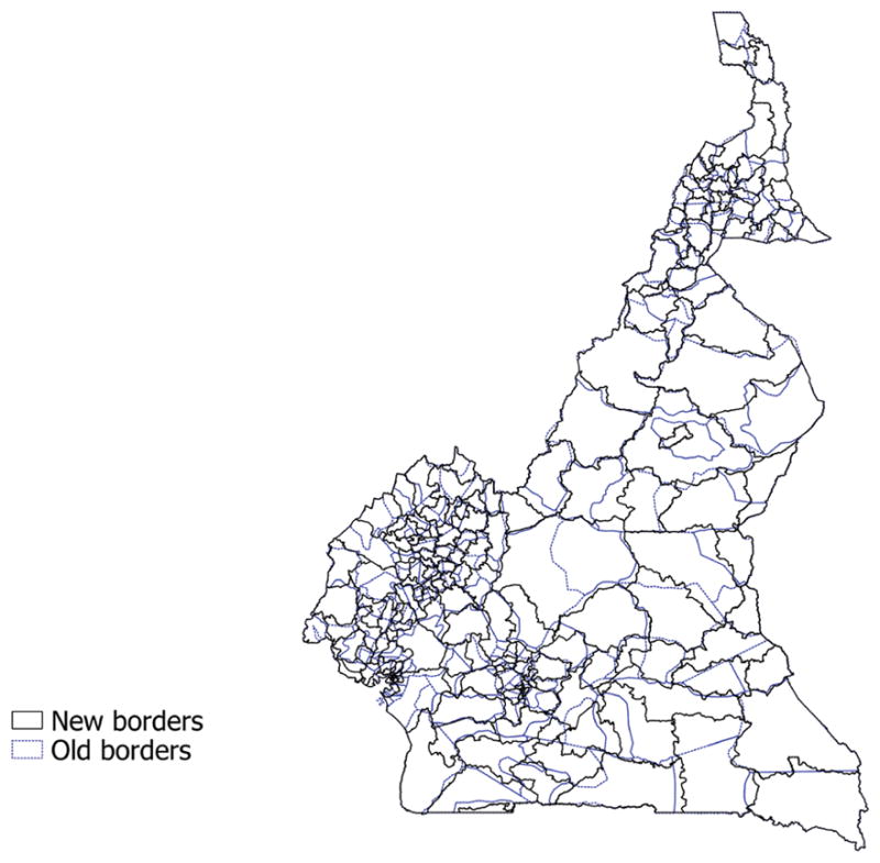
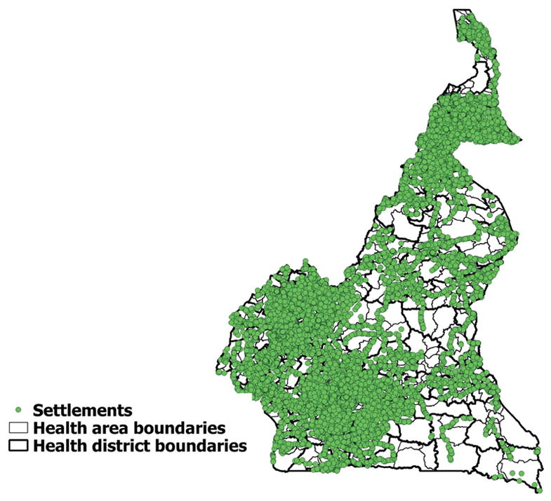
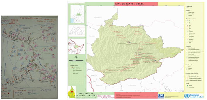
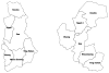
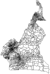
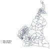
Description:During the poliovirus outbreak in Cameroon from October 2013 to April 2015, the Ministry of Public Health's Expanded Program on Immunization requested technical support to improve mapping of health district boundaries and health facility locations for more effective planning and analysis of polio program data. In December 2015, teams collected data on settlements, health facilities, and other features using smartphones. These data, combined with high-resolution satellite imagery, were used to create new health area and health district boundaries, providing the most accurate health sector administrative boundaries to date for Cameroon. The new maps are useful to and used by the polio program as well as other public health programs within Cameroon such as the District Health Information System and the Emergency Operations Center, demonstrating the value of the Global Polio Eradication Initiative's legacy.
-
Subjects:
-
Source:J Infect Dis. 216(Suppl 1):S337-S342.
-
Pubmed ID:28838181
-
Pubmed Central ID:PMC5853277
-
Document Type:
-
Funding:
-
Volume:216
-
Collection(s):
-
Main Document Checksum:urn:sha256:766781d39a9817b523c54635ca6016323111f1b3669893799f3b7f791d0c05ac
-
Download URL:
-
File Type:
 [PDF
- 781.97 KB
]
[PDF
- 781.97 KB
]
Supporting Files

File Language:
English
ON THIS PAGE

CDC STACKS serves as an archival repository of CDC-published products including
scientific findings,
journal articles, guidelines, recommendations, or other public health information authored or
co-authored by CDC or funded partners.
As a repository, CDC STACKS retains documents in their original published format to ensure public access to scientific information.
As a repository, CDC STACKS retains documents in their original published format to ensure public access to scientific information.
You May Also Like
COLLECTION
CDC Public Access