
i
Tracking the polio virus down the Congo River: a case study on the use of Google Earth™ in public health planning and mapping
-
Jan 22 2009
Source: Int J Health Geogr. 2009; 8:4.
 [PDF-1.59 MB]
Details:
-
Alternative Title:Int J Health Geogr
-
Personal Author:
-
Description:Background
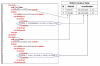
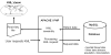
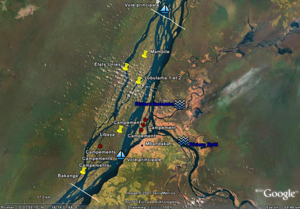
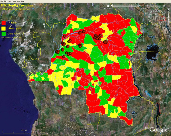
The use of GIS in public health is growing, a consequence of a rapidly evolving technology and increasing accessibility to a wider audience. Google Earth™ (GE) is becoming an important mapping infrastructure for public health. However, generating traditional public health maps for GE is still beyond the reach of most public health professionals. In this paper, we explain, through the example of polio eradication activities in the Democratic Republic of Congo, how we used GE Earth as a planning tool and we share the methods used to generate public health maps.
Results
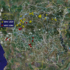
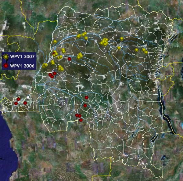
The use of GE improved field operations and resulted in better dispatch of vaccination teams and allocation of resources. It also allowed the creation of maps of high quality for advocacy, training and to help understand the spatiotemporal relationship between all the entities involved in the polio outbreak and response.
Conclusion
GE has the potential of making mapping available to a new set of public health users in developing countries. High quality and free satellite imagery, rich features including Keyhole Markup Language or image overlay provide a flexible but yet powerful platform that set it apart from traditional GIS tools and this power is still to be fully harnessed by public health professionals.
-
Subjects:
-
Source:
-
Document Type:
-
Place as Subject:
-
Collection(s):
-
Main Document Checksum:
-
Download URL:
-
File Type:
Supporting Files
-

gif
jpeg
gif
jpeg
gif
jpeg
gif
jpeg
pdf
gif
pdf
zip 
txt
txt
jpeg
gif
jpeg
gif
jpeg
gif
jpeg


More +


 Email
CDC-INFO
Email
CDC-INFO


