
i
Quantifying geocode location error using GIS methods
-
Apr 04 2007
Source: Environ Health. 2007; 6:10.
 [PDF-862.20 KB]
Details:
-
Alternative Title:Environ Health
-
Personal Author:
-
Description:Background
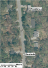
The Metropolitan Atlanta Congenital Defects Program (MACDP) collects maternal address information at the time of delivery for infants and fetuses with birth defects. These addresses have been geocoded by two independent agencies: (1) the Georgia Division of Public Health Office of Health Information and Policy (OHIP) and (2) a commercial vendor. Geographic information system (GIS) methods were used to quantify uncertainty in the two sets of geocodes using orthoimagery and tax parcel datasets.
Methods
We sampled 599 infants and fetuses with birth defects delivered during 1994–2002 with maternal residence in either Fulton or Gwinnett County. Tax parcel datasets were obtained from the tax assessor's offices of Fulton and Gwinnett County. High-resolution orthoimagery for these counties was acquired from the U.S. Geological Survey. For each of the 599 addresses we attempted to locate the tax parcel corresponding to the maternal address. If the tax parcel was identified the distance and the angle between the geocode and the residence were calculated. We used simulated data to characterize the impact of geocode location error. In each county 5,000 geocodes were generated and assigned their corresponding Census 2000 tract. Each geocode was then displaced at a random angle by a random distance drawn from the distribution of observed geocode location errors. The census tract of the displaced geocode was determined. We repeated this process 5,000 times and report the percentage of geocodes that resolved into incorrect census tracts.
Results
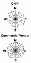
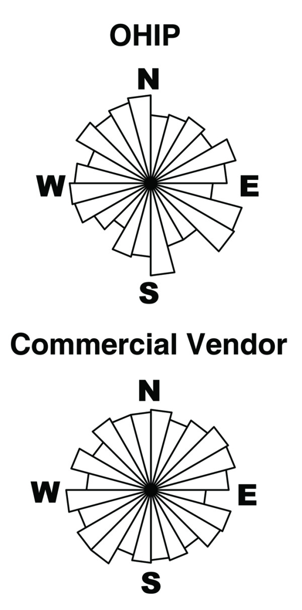
Median location error was less than 100 meters for both OHIP and commercial vendor geocodes; the distribution of angles appeared uniform. Median location error was approximately 35% larger in Gwinnett (a suburban county) relative to Fulton (a county with urban and suburban areas). Location error occasionally caused the simulated geocodes to be displaced into incorrect census tracts; the median percentage of geocodes resolving into incorrect census tracts ranged between 4.5% and 5.3%, depending upon the county and geocoding agency.
Conclusion
Geocode location uncertainty can be estimated using tax parcel databases in a GIS. This approach is a viable alternative to global positioning system field validation of geocodes.
-
Subjects:
-
Source:
-
Document Type:
-
Place as Subject:
-
Collection(s):
-
Main Document Checksum:
-
Download URL:
-
File Type:
Supporting Files
-

gif 
jpeg 
gif 
jpeg 
txt
txt

More +
You May Also Like

 [PDF - 1.32 MB]
 Email
CDC-INFO
Email
CDC-INFO


